
How to Search Ravenswood Property Records
Start with the Assessor's real-estate page. Pull the Jackson County parcel there and use its map link for orientation. Confirm the parcel by map number, situs address, and legal description. The Ravenswood name alone can mislead. Deed records and plats sit with the County Clerk. Tax tickets run through the Sheriff's system. Permits and code questions go to the city itself. In short, county property records establish the parcel and its owner of record. Municipal files may add a local approval or service detail.
- Start with the address in the county Assessor’s property search and confirm the resulting parcel record.
- Use the County Clerk’s index to identify deeds and recorded plats that describe the lot or transfer.
- Review the Sheriff’s tax record for the district, year, ticket and payment status associated with that parcel.
- Open the parcel map to understand its position relative to the Ohio River and other visible features; do not use the image as a survey.
- For a local permit or code question, contact Ravenswood City Hall and provide the property address, parcel number, and approximate project date.
The county Jackson County property search guide details the parcel lookup. The tax records guide covers the Sheriff's account. The city form and directory links below point to municipal records, not to county ownership or assessment information.
Where Ravenswood Property Records Are Kept
Ravenswood property records start at two county offices. The Jackson County Assessor, at 106 North Street West in Ripley, keeps the real-estate and tax-map information; call 304-373-2240. Recorded instruments such as deeds, liens, and plats are filed with the County Clerk at 100 Court Street North, phone 304-373-2200. For tax tickets, the Sheriff's office handles those at 304-373-2280.
City Hall sits at 1 Wall Street, reachable at 304-273-2621, and its doors are open Monday through Friday, 8 a.m. to 4 p.m. The municipal directory there lists contacts for city matters, including code enforcement and the municipal clerk.
Jackson County Records (deeds, taxes, parcels)
The county Assessor and Clerk hold the parcel assessment, tax map and recorded deed or plat record for a Ravenswood property.
Ravenswood Lots and Subdivision Names in Records
No authoritative list of Ravenswood subdivision or neighborhood names appears in the recorded sources, so an address search should not begin with a guessed label. Pull the lot description from the deed. On an Ohio River parcel, check whether the record describes a lot, a larger tract, or land tied to a particular plat. Then compare it to the county tax map. The map helps locate the assessment parcel. It cannot settle a legal boundary. A visible edge on the map is not a waterfront line.
| Neighborhood / Subdivision | Era | In the Records |
|---|---|---|
| Recorded lot or block named in an instrument | Use the deed or plat date | Search the exact legal description in the County Clerk’s records |
| Parcel along the Ohio River corridor | Current county map record | Confirm the parcel identifier and obtain a survey for a boundary decision |
| Residential or industrial tract | As listed in the assessment record | Use the parcel number and deed references; do not infer a subdivision from land use |
Keep every lot, block, book, and page reference. A neighborhood label may not match the record's legal wording. Exact citations reach the right plat fastest. The Jackson County parcel maps page covers how to use the county map for location context and when a recorded plat is needed.
What Ravenswood Property Records Show and Miss
An assessment entry identifies the owner of record. It also lists the parcel description, the tax district, and the assessed amount. A deed shows the transfer parties, the date, the consideration, and the land description. The Sheriff's account covers taxes. A city permit or code file covers a municipal action. None proves occupancy, market value, or title. Keep the source and date with each fact. County and city records serve different functions.
Responsible use. Use property information for legitimate research, parcel due diligence, and public-record questions. Do not use a person’s owner information to follow, threaten, or harass them.
Ravenswood’s Ohio River Property Context
Ravenswood sits on the Ohio River, so a map search may place a parcel near water, industry, or major roads. Those layers are only clues. They prove no legal shoreline. They show no access right, flood designation, or easement either. Read the deed's full land description and any plat it references before trusting the map view. When a boundary or access question affects a purchase or project, request a current survey. County GIS may display roads, streams, parcel shapes, utility easements, farm use, soils, coordinates, and aerial photography. Active layers vary. Verify the exact current controls in the viewer.
For map interpretation, the parcel maps page explains the difference between a tax-map view and a legal boundary determination. A river parcel may need agency records too.
Ravenswood Permits and Code Records
Ravenswood maintains a city forms page for permit paperwork. Code enforcement has a named contact. Danny Mitchell takes those calls at 304-761-2012. The forms page does not spell out every form field, fee, or searchable date range. Call with the address and parcel number. Say whether you need a building permit, a code case, a zoning answer, or a municipal certificate, and ask whether a copy request goes through the city clerk. The forms page is the source for current permit materials.
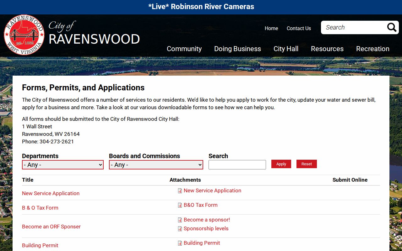
Use the forms page to find the current application. Then confirm whether it holds historical records or only paperwork for new work.
Contact the Ravenswood Municipal Clerk
Ravenswood's city directory lists the municipal clerk and the code-enforcement contact. Use it to route a city request. A permit, ordinance, or service record belongs with the staff member. That staff member maintains the material. Give an address, a date range, and a plain description. Skip blanket requests for everything. Deeds, recorded plats, assessments, and tax tickets stay with the county offices. The directory is no substitute for the County Clerk or Assessor.
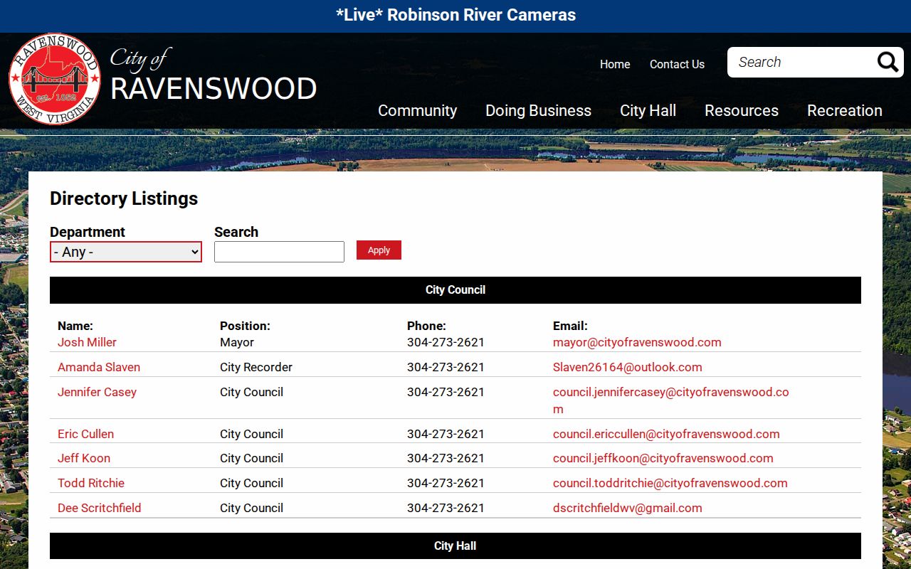
Verify the staff member and office before submitting any record request.
Ravenswood ZIP and Service Boundaries
Ravenswood uses ZIP code 26164, but a postal label is not a legal boundary. Tax districts, municipal limits, and emergency-service areas each serve a different purpose. The county assessment record is the place to confirm the tax district for a specific parcel, while the city can confirm whether it handles a local permit or code question. Address geography and E911 response boundaries do not always match, so do not infer an emergency jurisdiction from a ZIP lookup alone. The USPS address tool can confirm mailing city and ZIP information.
A postal result only formats an address. It cannot confirm city limits, parcel ownership, the tax district, or which service answers an emergency call.
Find the Right Ravenswood Records Office
Ravenswood carries ZIP code 26164, though a postal label is not a legal boundary. Tax districts, municipal limits, and emergency-service areas each serve a different purpose. To confirm the tax district for a specific parcel, check the county assessment record. The city can say whether it handles a local permit or code question. E911 response boundaries do not always match address geography. A ZIP lookup alone cannot settle an emergency jurisdiction question.
The USPS address tool can confirm mailing city and ZIP information.
Use the state listing as a contact cross-check, and verify current details with Ravenswood before mailing a request.
Ravenswood Tax District and Assessment Record
Jackson County splits into seven tax districts. They are Grant, Ravenswood, Union, Washington, Ripley, Ripley Town, and Ravenswood Town. The district on a parcel shapes its tax record. Take it from the current account rather than guessing from a mailing city. The Assessor values and classifies real property. It sets no levy and collects no bill. County figures show more than 70 percent of property-tax revenue supporting the Board of Education. Another 20 percent supports county government. To review a Ravenswood tax record, match the parcel first. Then check the tax year and ticket in the Sheriff's service. Two neighboring accounts can fall in different districts even with the same ZIP code. A tax ticket shows whether an amount was billed or paid. It does not establish current ownership.
Trace Older Ravenswood Parcels Through Deeds
Old deeds predate modern map numbers. A current parcel card may use a number that did not exist when an older deed was recorded. Jackson County has used tax maps formally since 1961. State Archives deed indexes begin in 1831. Surviving deed books span 1836 through 1901, plat books run 1859 through 1939, and surveys cover 1831 through 1890. The county's first deed volume is missing. It should have covered the earliest years. A later deed may cite an older lot or survey, so preserve that chain rather than forcing a modern map number onto it. Those Archives ranges say nothing about where the Clerk's current online index begins. Ask the Clerk where that index ends. Earlier deeds live in the finding aid and filmed holdings, and the former-owner records guide outlines how to continue an ownership timeline.
Ravenswood Growth and Address Research
The 2020 Census counted 3,865 residents in Ravenswood. That figure frames the city as a separate incorporated place within Jackson County. It is not a current estimate, a parcel count, or a neighborhood boundary. Growth and the river-side setting complicate addresses. Older deed references can differ from present-day mailing formats. When a deed cites an earlier road or lot description, search by owner and instrument reference as well as the modern street address. The county parcel identifier is the stable cross-reference. It links the tax map to the assessment account. USPS can normalize the postal city and ZIP, while the municipal office can say whether a local permit or code file exists for an address. Keep the three roles separate. Postal addressing, county property administration, and city services each answer a different question.