
How to Search Ripley Property Records
Start a Jackson County lookup at the Assessor's real-estate page. Then follow its link into the county parcel search. Confirm the parcel number first. The address alone can mislead. The County Clerk records deeds, deeds of trust, liens, plats, and probate instruments. The Sheriff runs a separate tax-ticket lookup. Ripley's city hall may hold a permit or code record. But that file never replaces county ownership and assessment data. In practice, Ripley property records split into a county-city pair. Each source answers a different question about the same parcel.
- Search the assessor-linked Jackson County parcel system using the Ripley situs address; confirm the parcel identifier and description.
- Use the County Clerk’s deed index to locate the current conveyance and any older instruments that explain the parcel.
- Check the Sheriff’s tax service for the correct tax year, ticket and account status.
- Use the county parcel map for orientation, then request a recorded plat or a survey if the legal boundary matters.
- Ask Ripley City Hall whether a permit, zoning, or code record is maintained for the address and time period.
The county-wide Jackson County property search guide walks through the parcel route in detail, and the deed records guide decodes deed and plat references. Permit questions go to Ripley directly. County tax files never list every municipal inspection or approval.
Where Ripley Property Records Are Kept
The Jackson County Assessor is at 106 North Street West in Ripley and can be reached at 304-373-2240. Its office maintains property assessments, parcel maps and the real-estate information linked from its website. The County Clerk, at 100 Court Street North, records land instruments and can be reached at 304-373-2200. For taxes, use the Sheriff’s tax collection service or call 304-373-2280. Ripley City Hall handles municipal business at 203 South Church Street, phone 304-372-3482; ask there about city-held permits and local requirements.
Jackson County Records (deeds, taxes, parcels)
Assessment, tax-map and real-estate parcel information is maintained at the county level. Deeds and recorded plats are filed with the Jackson County Clerk.
Ripley Lots and Subdivision Names in County Records
Ripley has no verified master list of neighborhood or subdivision names in the county records. Search by the exact lot, block, or plat name written in the deed instead of a guessed label. A county parcel map will point you to the right tax account. But the County Clerk's recorded plat and deed remain the source. They hold the description used when the land was divided or conveyed. Ripley's city limits and the county tax-map boundaries overlap in places. Yet they are not the same thing. A familiar street name, in other words, does not guarantee it sits inside a particular plat.
| Neighborhood / Subdivision | Era | In the Records |
|---|---|---|
| Recorded lot or block stated in the deed | Use the instrument’s date | Search the exact description in the County Clerk’s deed or plat reference |
| Courthouse or downtown parcel address | Current address record | Match situs address to the assessor map number before selecting an account |
| Older tract later divided into lots | Historic transfer sequence | Follow the deed’s referenced plat and legal description; request help if the volume is unclear |
When a deed names a lot or plat, copy its spelling exactly. Include any book-page reference just as written. Then compare it against the county parcel identifier. The Jackson County parcel maps page explains how the tax map helps with orientation. It also covers why a map image is not a legal survey.
What Ripley Property Records Can Confirm
Each record answers a different question. A Jackson County assessment record ties a Ripley parcel to a tax classification. It also carries a value entry and an owner or mailing name. A deed shows the parties, recorded date, stated consideration, and legal description of a transfer. A tax account carries its own billing and payment history. City permit or code files may document a municipal action. None of these records alone proves market value. None proves present occupancy, title quality, or the exact line of a legal boundary. Read the record type and its date before you rely on it.
Responsible use. Use public property records for legitimate parcel research, ownership history, tax review, or civic questions. Do not use owner information to threaten, follow, or harass a person.
Ripley’s County Seat Records and Courthouse Context
Ripley serves as the seat of Jackson County. Most of the land records you would ever need sit with county offices. Those offices are inside the city. That makes the courthouse a practical stop when you want staff help or a certified copy. It also helps with decoding an old book reference. It does not mean the city recorded your deed. The County Clerk keeps the deeds and other land instruments. The Assessor keeps each assessment account. The Sheriff handles tax collection. A Ripley municipal permit question still belongs with the city office. Even so, the parcel's ownership and tax details live downtown with county agencies.
Jackson County dates to 1831. It was carved from parts of Kanawha, Wood, and Mason counties. That older boundary history matters when a tract or family search reaches back before the current record series. It matters especially if a deed index points to an earlier jurisdiction. For present-day Ripley parcels, rely on the Jackson County assessor map. Confirm older transfers through the Clerk's holdings.
Ripley Addresses, ZIP Codes, and Parcel Search
Ripley’s postal ZIP is 25271, but ZIP and city-name fields describe postal delivery geography, not a parcel’s legal location. An address form may return a Ripley mailing label for a property near a city boundary, and a rural address can have a postal city different from the jurisdiction that handles planning or emergency service. Verify the parcel on the county map and ask the city whether a location is inside city limits when a permit, utility, or local code question depends on jurisdiction.
The United States Postal Service provides an address lookup for city and ZIP information.
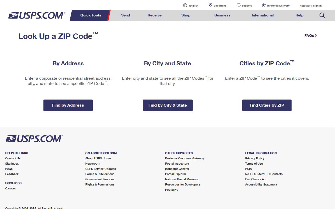
Postal answers confirm format, nothing more. They never settle tax district, city limits, ownership, or which office serves the parcel.
Ask Ripley About Municipal Permits and Zoning
Ripley publishes no searchable permit portal. Construction history, zoning questions, and code matters go through Ripley City Hall instead. Give staff the street address, a parcel reference, and the approximate date of the work. Include the type of record you want. Ask them directly whether the city holds the file. A county or state office may keep it instead. A permit and a deed answer different questions. The permit describes what a project involved and whether the city approved it. A deed records a transfer of ownership, while the tax record covers assessment and billing. The city's public contact page is the place to start routing a local records question.
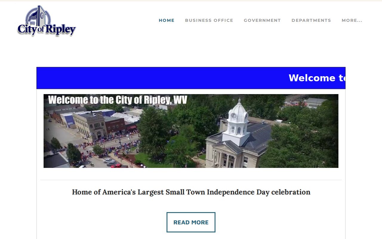
Ask city staff about current contacts first. Confirm whether a request goes through the city clerk before you visit or send a records request.
Ripley Tax Districts and the City Tax Layer
Jackson County runs seven tax districts. The list includes Grant, Ravenswood, Union, Washington, Ripley, Ripley Town, and Ravenswood Town. The district is a levy classification inside county property records. It is not a neighborhood label. A parcel tied to the city may carry a town-specific district entry. The property next door can land in a different district. Check the district on the parcel itself rather than guessing from a mailing address.
More than 70 percent of county property tax revenue supports the Board of Education. Another 20 percent funds county government. The tax bill blends the assessed basis with levies from each relevant authority. The Assessor values and classifies property but neither sets those levies nor collects the bill. For tax-ticket status, the Sheriff's account is the source.
Match a Ripley Street Address to the Right Record
The same Ripley property can appear under different address spellings. An assessment card, a deed, an old plat, and a permit file may each write it differently. Numbering shifts over time. So start your property search with the current address. But hold onto the parcel number, the map reference, the owner of record as written, and any older street wording the deed uses. Those details reconcile the differences. When an address pulls up more than one property, resist picking the closest match. Compare the legal description and the lot's position on the county map first. If the match still looks shaky, call the office that holds that record.
The West Virginia Secretary of State's municipal-contact search helps sort out which office to contact. You can query it by municipality, county, clerk or recorder, ZIP code, or phone. Treat it as a contact directory, not a parcel boundary service. To learn whether a specific lot sits inside Ripley, ask the city. Then check the county map. The state municipal directory displays the kinds of fields. Those fields help confirm the right local office.
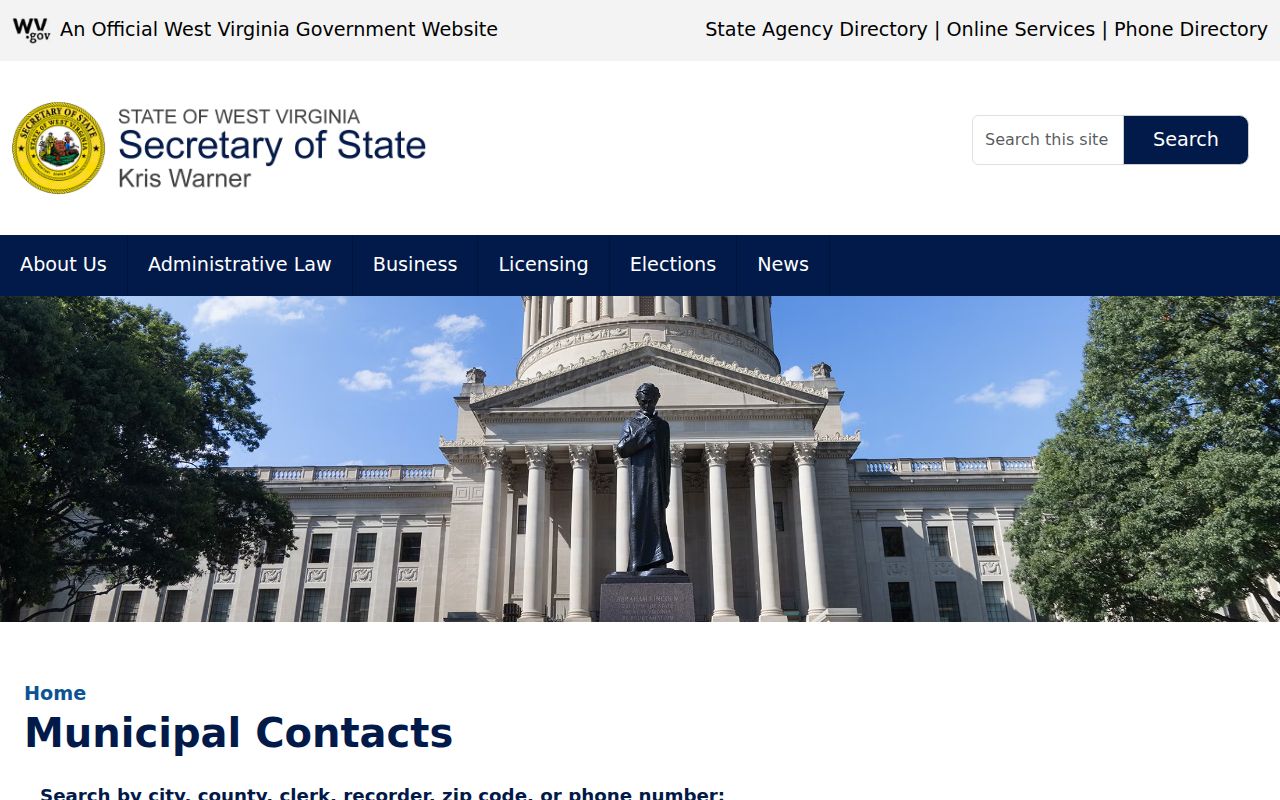
Use those city and county contact details to route your request. Then verify the parcel itself with the county record custodian.
Older Ripley Deeds and County Map History
A long-held Ripley parcel deserves more than the current tax map. Jackson County's tax maps have carried formal standing since 1961. But the State Archives reach much deeper into the county's property records. Deed indexes there run from 1831 through 1968. Deed books span 1836 to 1901. Surveyor's plat books run 1859 to 1939. Survey records run 1831 to 1890. One gap exists: the first deed volume, beginning in 1831, is missing. These spans describe archival holdings, not a promise that every item is searchable online.
An older deed may cite a town lot or a filed plat. Copy the exact book, page, lot, and legal description. Precision matters here. An index entry may not line up with the current parcel. The County Clerk or State Archives can help trace the reference. The former owner guide shows how these pieces of county history fit together.